Clarkdale
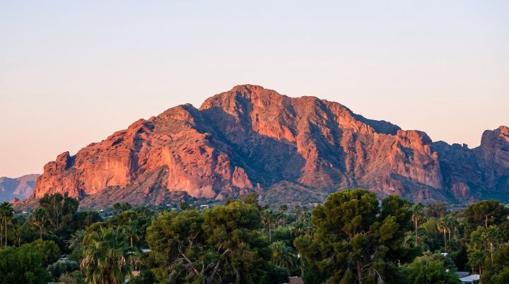
Clarkdale is a town in Yavapai County in north-central Arizona, located on the banks of the Verde River in the Verde Valley. It was founded in 1912 as a planned company town for the United Verde Copper Company smelter operations, with Jerome a few miles to the southwest and Cottonwood adjoining its boundary.
Kelly serves buyers and sellers in Clarkdale.
Schools
The Clarkdale-Jerome Elementary School District serves grades PK through 8 and operates Clarkdale-Jerome Elementary School at 1615 Main Street; the district also includes Jerome and a small piece of Cottonwood. Areas within the district are also part of the Mingus Union High School District, which includes Mingus Union High School in Cottonwood. Specific attendance boundaries can be looked up through the district office or the Yavapai County Education Service Agency.
Getting around
Clarkdale is reached via U.S. Route 89A, with State Route 260 and Interstate 17 also serving the Verde Valley area. The town sits roughly 107 miles from Phoenix. The Verde River Canyon Railroad also runs a scenic excursion route along a 19-mile stretch between Clarkdale and Perkinsville.
Homes and housing
Clarkdale was laid out in 1914 as a master-planned company town, with residential development including both upper and lower-income housing built alongside a commercial area, administrative center, schools, and parks. By 1930 the United Verde Mining Company had built 500 houses in the town. The original townsite, including buildings and residences along Main Street, is listed as the Clarkdale Historic District on the National Register of Historic Places, with architectural styles including Mission/Spanish Revival, Classical Revival, and Bungalow/Craftsman.
Things to do
The historic downtown area includes the Arizona Copper Art Museum, Town Park, Town Hall Complex, and the Clarkdale Historical Society and Museum. Tuzigoot National Monument sits immediately east of town, a 42-acre site with Sinagua pueblos containing over 100 rooms. Nearby Dead Horse Ranch State Park covers 300 acres with camping, picnicking, and fishing facilities, and the Sycamore Canyon Wilderness Area is accessible from the town as well.

- Clarkdale was founded in 1912 by the United Verde Copper Company. Clarkdale's History
- The Clarkdale Historic District was added to the National Register of Historic Places on January 8, 1998. Clarkdale Historic District (Clarkdale, Arizona)
- The town's 2020 population was 4,424. Clarkdale, Arizona
- Clarkdale occupies approximately 10.1 square miles in the Verde Valley. Clarkdale's History
- Clarkdale-Jerome Elementary School enrolled 459 total students in the 2024-2025 school year. Search for Public Schools - Clarkdale-Jerome Elementary School (040000400912)
- Clarkdale is home to the Yavapai College Verde Campus. Clarkdale's History